Tag: MyBroome Weather

  • WEATHER NOW – Tuesday, August 4, 2026

    WEATHER NOW – Tuesday, August 4, 2026

    WEATHER NOW from NewsXR

    Afternoon Thunderstorm Risks Precede Fair Late-Week Weather

    A weak frontal boundary crossing the Southern Tier today brings a 35% chance of spotty afternoon showers or localized thunderstorms before high pressure restores bright midsummer sunshine on Wednesday and Thursday.

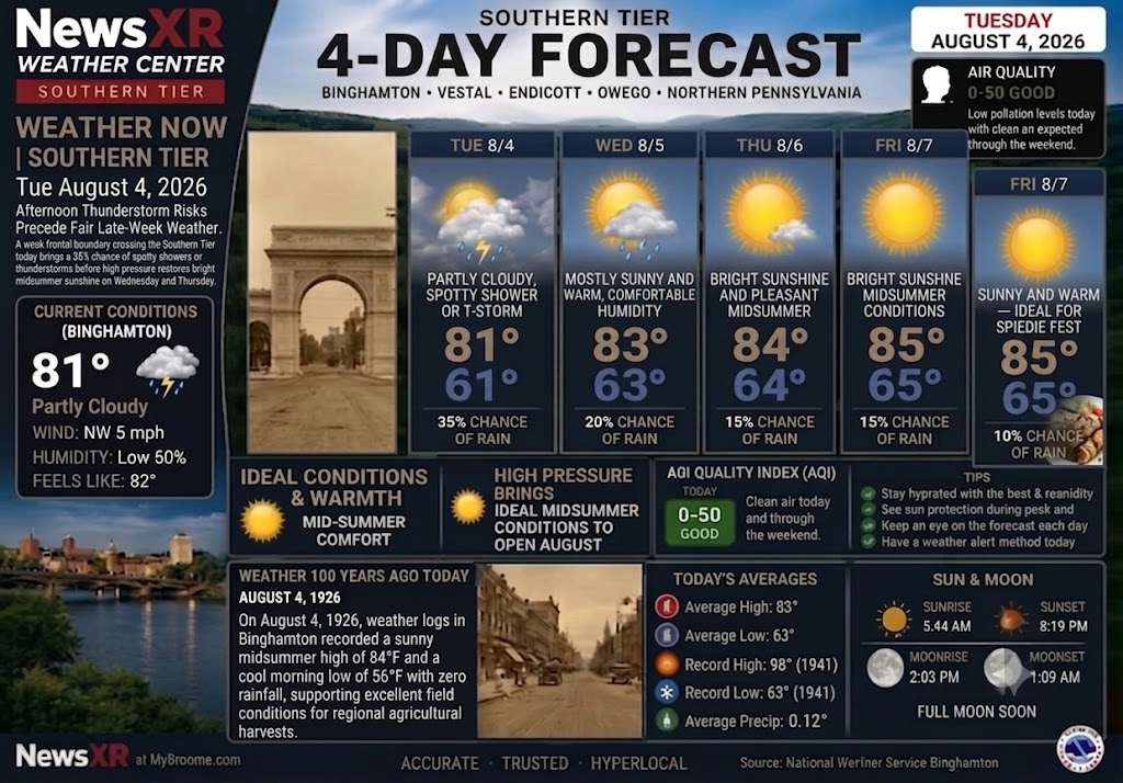
    • Today (Tuesday, August 4): Partly cloudy with spotty afternoon showers or thunderstorms possible, high 81°F / low 61°F, 35% rain chance.

    • Wednesday (August 5): Mostly sunny and warm with comfortable humidity, high 83°F / low 63°F, 20% rain chance.

    • Thursday (August 6): Bright sunshine and pleasant midsummer conditions, high 84°F / low 64°F, 15% rain chance.

    • Friday (August 7): Sunny and warm—ideal for Spiedie Fest opening events, high 85°F / low 65°F, 10% rain chance.

    Weather 100 Years Ago Today (August 4, 1926)

    On August 4, 1926, weather logs in Binghamton recorded a sunny midsummer high of 84°F and a cool morning low of 56°F with zero rainfall, supporting excellent field conditions for regional agricultural harvests.

  • WEATHER CENTER REPORT: WEDNESDAY, JULY 29, 2026

    WEATHER CENTER REPORT: WEDNESDAY, JULY 29, 2026

    🌤️ WEATHER REPORT: WEDNESDAY, JULY 29, 2026

    From the NewsXR Weather Center at MyBroome.com

    Accurate • Trusted • Hyperlocal

    🌩️ HEAVY RAIN & PONDING RISK ACROSS BROOME COUNTY

    A slow-moving atmospheric system is keeping Broome County and the Southern Tier under active weather alerts today. Ground conditions across the region remain highly saturated from recent rainfall, elevating the risk for localized flash flooding, standing water, and road ponding throughout Binghamton, Vestal, Endicott, Owego, and Northern Pennsylvania.

    Persistent rain bands and embedded thunderstorms will continue tracking through the area through Wednesday evening, with heavy downpours capable of dropping an additional 1 to 2 inches of rainfall in localized spots.

    📊 TODAY’S DETAILED BREAKDOWN (WEDNESDAY, JULY 29)

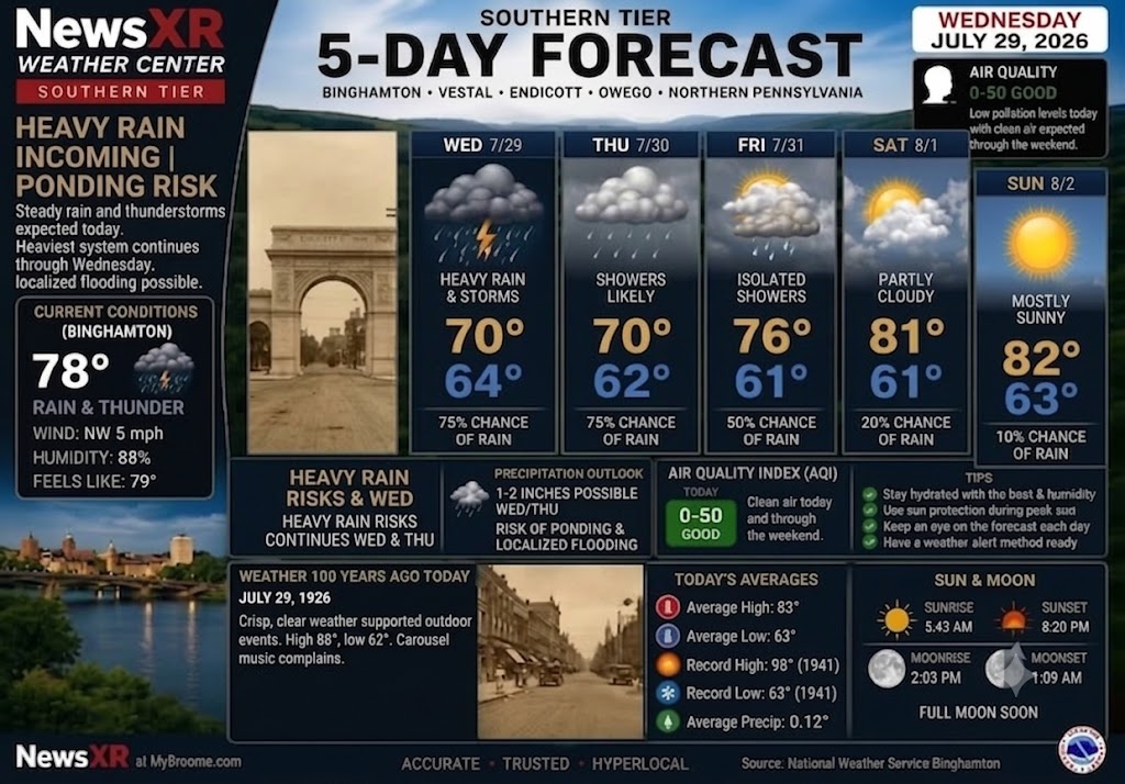
    • Current Conditions (Binghamton): 78°F with active rain and thunder. Winds are light out of the Northwest at 5 mph with humidity sitting at 88% (Feels like 79°F).

    • High / Low Temperature: High of 70°F | Low of 64°F

    • Precipitation Chance: 75% with heavy rain and active thunderstorms expected throughout the afternoon and evening.

    • Impact & Hazards: Moderate to high risk of localized street ponding and minor stream flooding in low-lying drainage basins. Drive with caution during peak commuting hours.

    • Air Quality Index (AQI): 0–50 (GOOD) — Low pollution levels expected to remain clean through the weekend.

    • Sun & Moon: Sunrise at 5:43 AM | Sunset at 8:20 PM | Moonrise at 2:03 PM | Moonset at 1:09 AM (Full Moon approaching).

    🗓️ 5-DAY EXTENDED OUTLOOK

    • Thursday (July 30): Showers remain likely as the system slowly exits. High 70°F / Low 62°F (75% chance of rain).

    • Friday (July 31): Turning noticeably brighter with passing isolated showers tapering off late. High 76°F / Low 61°F (50% chance of rain).

    • Saturday (August 1): Pleasant conditions return to start the weekend! Partly cloudy and warmer. High 81°F / Low 61°F (20% chance of rain).

    • Sunday (August 2): Mostly sunny, dry, and ideal for outdoor activities. High 82°F / Low 63°F (10% chance of rain).

    📜 WEATHER 100 YEARS AGO TODAY (JULY 29, 1926)

    A century ago today, Broome County experienced crisp, clear summer weather that supported outdoor gatherings and community events across the Triple Cities. High temperatures reached 88°F with an evening low of 62°F—a stark contrast to today’s heavy downpours! Local archives even recorded lighthearted citizen complaints regarding “jazzy carousel music” carrying across open windows into the evening hours.

    • Record High for July 29: 98°F (1941)

    • Record Low for July 29: 63°F (1941)

    • Historical Average Precip: 0.12″

    © 2026 CompanyXR Media Group – All Rights Reserved | MyBroome.com
  • WEATHER NOW: Southern Tier 5-Day Weather Forecast

    WEATHER NOW: Southern Tier 5-Day Weather Forecast

    WEATHER NOW: Southern Tier 5-Day Weather Forecast

    (July 28, 2026)

    BINGHAMTON, N.Y. — Heavy rain and lingering thunderstorms dominate today’s weather across Broome County and the broader Southern Tier. Steady rain and active systems are expected today, with the heaviest continuation through Wednesday, creating a risk of localized road flooding and stream ponding.

    Current Conditions (Binghamton)

    • Temperature: 78°F (Feels like 79°F)

    • Conditions: Rain & Thunder

    • Wind: NW at 5 mph

    • Humidity: 88%

    NewsXR Southern Tier 5-Day Outlook

    • Tuesday, July 28: Heavy rain & storms. Risk of road ponding and localized flooding. High 70° | Low 64° (75% chance of rain)

    • Wednesday, July 29: Rain and showers continuing. High 70° | Low 62° (75% chance of rain)

    • Thursday, July 30: Light rain possible with high clouds. High 76° | Low 61° (75% chance of rain)

    • Friday, July 31: Passing showers. High 81° | Low 61° (40% chance of rain)

    • Saturday, August 1: Pleasant & sunny conditions return. High 82° | Low 63° (10% chance of rain)

    Precipitation & Air Quality

    • Precipitation Outlook: 2–3 inches possible Tuesday and Wednesday. Risk of ponding and localized flooding.

    • Air Quality Index (AQI): 0–50 (GOOD) — Clean air today and through the weekend.

    • Sun & Moon: Sunrise 5:42 AM | Sunset 8:21 PM (Moonrise 2:03 PM | Moonset 1:09 AM — Full Moon Soon).

    Weather 100 Years Ago Today (July 28, 1926)

    Binghamton on July 28, 1926, was equally impactful. The high reached 88 degrees, and the region was blanketed by an unusually dense, muggy atmosphere, with humidity near 90%. Crisp, clear weather supported outdoor events like the Endicott hospital cornerstone ceremony. Open windows led to now-famous complaints about “jazzy” carousel music.

  • From the NewsXR Weather Center: Southern Tier 5-Day Forecast

    From the NewsXR Weather Center: Southern Tier 5-Day Forecast

    From the NewsXR Weather Center: Monday brings a mostly sunny and comfortable start to the week across Binghamton and the Southern Tier, with a high near 78 and lower humidity through the day. Wildfire smoke remains a concern, and the local AQI is still in the unhealthy-for-sensitive-groups range, so children, older adults and anyone with asthma, COPD or heart/lung conditions should limit prolonged outdoor activity when haze is present.

    Storm chances return Tuesday as warmer, more humid air moves back into the region, with scattered showers, thunderstorms and heavy downpours possible before quieter weather returns later in the week.

    Today’s Weather 100 Years Ago Today feature looks back to July 20, 1926, when Binghamton was hot and humid with scattered thunderstorms. The afternoon high reached 89 degrees, the overnight low was 65, and 0.09 inches of rain was recorded. Compared with today’s forecast high near 78, Broome County was dealing with a much hotter July day exactly a century ago.